Services
GIS and geoinformatics
|
GIS and spatial analysis
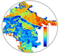
Collection of spatial data, their processing, and creation of thematic maps for agriculture and environmental protection needs.
Image: Thematic map of hazelnut cultivation in the Vukovar-Srijem County |
Precision agriculture
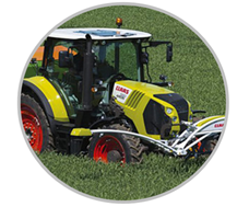
Precise execution of agrotechnical operations according to the specifics of the soil to create optimal conditions for growth and development and reduce pollution.
Image: Precise fertilization using the Crop Sensor system |
||
|
|
|
||
|
Digital cartography
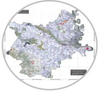
Creation of thematic maps in agriculture and environmental protection based on processing spatial data in a GIS environment.
Image: Thematic map of vineyards in Osijek-Baranja County
|
Positioning and navigation
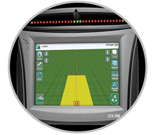
Precise positioning on Earth and navigation using global navigation satellite systems (GNSS).
Image: Display of tractor passage using Trimble CFX-750 navigation |
||
|
Remote research
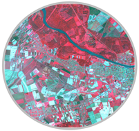
Processing and interpretation of remote sensing data collected via satellites or drones.
Image: Sentinel-2 color infrared composite of the surroundings of the City of Osijek |
Education
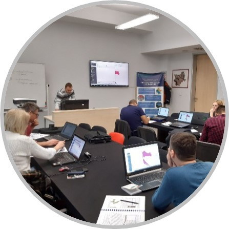
Educating participants to work with geoinformation technologies in agriculture and environmental protection through various GIS courses and a course on operating an unmanned aircraft with photo interpretation.
Image: Basic GIS course held during February 2020 |
Contact:
|
Mladen Jurišić, full professor, Ph. D. tel.: +385 31 554 881 mob: +385 99 658 56 24 |
Davor Petrović, Ph. D. tel.: +385 31 554 879 mob: +385 91 570 12 17 |


 English
 Hrvatski